
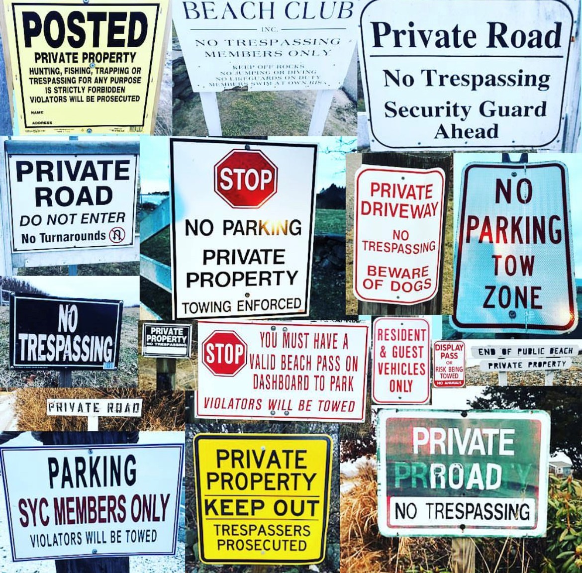
Access to the shore is something that was once taken for granted in Massachusetts and around the country. But as waterview property values have continued to skyrocket, there have been lawsuits, attempts to change longstanding laws, illegal fences erected, the list goes on and on. It’s a much bigger issue than just the one example shown below. But whether you fish, live in or have ever visited Rockport or not, this attempt outlines one of the many ways that the law can be used to upend, even a deeded right. The lawyers representing The State are faced with a pretty tall task: providing proof that ‘the people’ accepted the deed that was given to them nearly 140 years ago. The lawyers for the landowners have asked that The State provide evidence of public use of this stretch of shoreline between 1887 and 1950, and they are asking for help from anyone that can provide this proof.
Readers who don’t live, fish or vacation in Rockport may feel like they don’t have a dog in this fight, but these same tactics could be used to steal your access to the beach where you watch the sunset in the summer, or your favorite surf spot for stripers. Shoreline access is decreasing every year and it’s being done through the use of these legal gymnastics performed by lawyers who think they’re slicker than the law. Let’s all learn from what’s going on up in Rockport and throw our support behind the good people that are trying to fight it.
What follows is a plea from a reader and concerned resident of Rockport, MA.
An old lawsuit threatening the public access to the rocks at Andrew’s Point in Rockport has been resurrected. A homeowner is contesting the public’s access to the rocks between their house and the ocean. The contested area is the ledges and rocks situated between Longbranch Avenue and the ocean on one side and between Point de Chene Avenue and Dawn Avenue on the other. These ledges and rocks are privately owned, but the public has had deeded access since 1887.
To retain public access to these ledges and rocks the State must prove they were accepted by the public through use. The state will have to prove in court that the public did in fact exercise the use of the contested area between 1887 and 1950.
To do so the Assistant Attorney General, Kendra Kinscherf, who is representing the Commonwealth needs your help. She needs any relevant information that residents may have on the public’s use of the ledges and rocks adjacent to Long Branch Avenue including statements of personal use, stories of your parents’ or grandparents’ use, maps, photographs, journals, diaries, letters, and the like. Please help retain our public access to the coast by emailing Kendra Kinscher (address below) and telling her your story of use of the contested area before 1950.
Public use of the contested area includes fishing, walking, birdwatching, picnicking, or just watching a sunset at Andrew’s Point adjacent to Longbranch Avenue. The contested rocks are part of what is now known as the Atlantic Path. The 1.5 mile long Atlantic Path stretches from Cathedral Rocks (near the Emerson Inn) past Andrew’s Point to Halibut Point. If one walked the Andrew’s Point section of the Atlantic Path, then you walked across the contested area and in doing so exercised the public use of this area. The State needs to provide its documentation to the Court this Fall.
If you are sending an email, please: Use the subject line: “Andrew’s Point Public Access.” Include the wording “ledges and rocks adjacent to Longbranch Ave.” Scan supporting materials and attach them with your email.
John Dupuis & Kendra Kinscherf
Assistant Attorneys General
Office of the Attorney General
Government Bureau/Trial Division
One Ashburton Place, 18th Floor
Boston, MA 02108