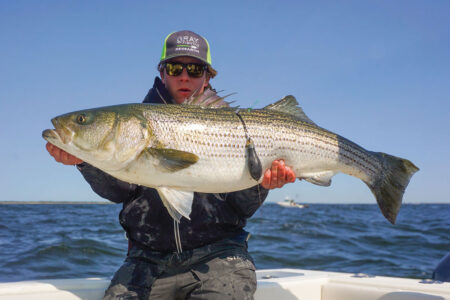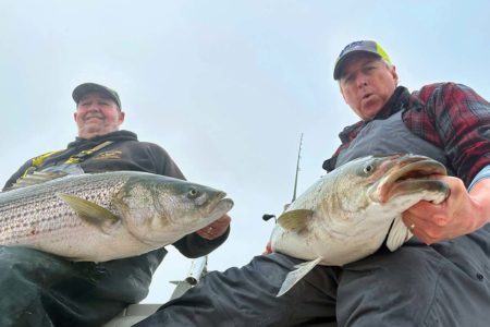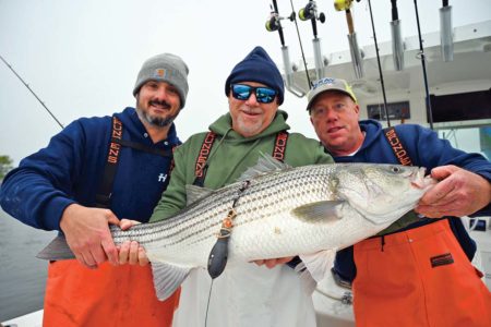
The Fisherman Magazine is teaming up with Gray Fishtag Research and Navionics to track the long-distance movement of striped bass in 2019 and beyond.
Tracking the weekly, monthly and even seasonal movements of fish is not easy. It’s not like tracking a land animal, for instance, which can rather easily be observed in the wild. As anyone who has spent even a few minutes fishing can attest, fish have a way of hiding from those who are seeking them, oftentimes seemingly in plain sight. So how do scientists and researchers track a fish’s movements? Simply put, it is done through a variety of tagging programs. Tagging is not unique to fish, but for today’s conversation we’ll only concern ourselves with piscatorial pursuits.
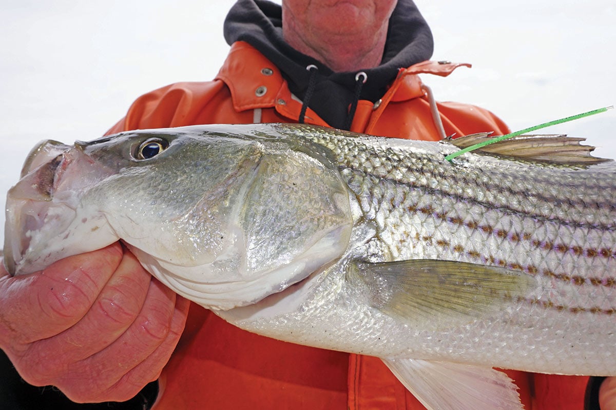
Perhaps the most common form of fish tagging involves what are referred to as “spaghetti tags.” These slender, brightly-colored plastic tags are inserted into a fish at the time of capture and basic information such as length of the fish and location of the catch are logged. Then, hopefully at a much later date, the fish is recaptured by another angler or researcher and catch information is compared against the original tag and release information to determine such things as growth and migration (straight-line distance). Also of note from these recaptures, which can be quite valuable, is what’s referred to as “time at sea” or the time between initial capture and recapture. Several organizations utilize spaghetti tags including Gray’s Fishtag Research, but the data they can provide are somewhat limited. Enter the pop-up satellite archival tags (PSATs) and the Gray FishTag Research 2019 Northeast Striped Bass Study brought to you by Navionics and The Fisherman Magazine.

“As a board member on Gray’s FishTag Research, I’ve been impressed how satellite tags have shed new light on the behavior of migratory gamefish in other parts of the world and how the findings have begun to influence fisheries managers,” noted Michael Caruso, Publisher of The Fisherman Magazine. “To my knowledge satellite tags have never been used to track striped bass originating from the Hudson River. We wanted to be the first to begin the process of learning more about this specific body of fish. These first two tagged fish will hopefully be a milestone to a future that includes the best technology and tools to assist in measuring the health of our fishery. It’s possible that we’ll learn nothing new, but the potential to add to the story of our beloved striped bass is exciting and now a reality.”
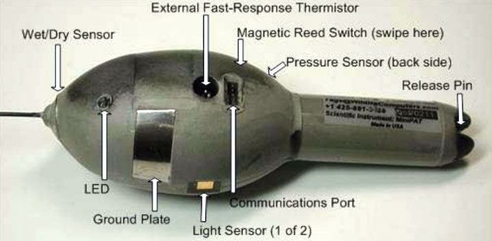
For this study, the generous folks at Navionics have stepped up to front the expense of a pair of Wildlife Computer MiniPATs. The MiniPAT is a small version of the standard PSAT, which is a sophisticated combination of archival and Argos satellite technology. PSATs are designed to track the large-scale movements and behavior of fish and other animals that do not spend enough time at the surface to allow the use of real-time Argos satellite tags. Sensor data are collected during deployment and archived in onboard memory and collect hourly temperature, pressure, and light data while on the fish. Once the tag pops off at a pre-programmed date, it will float to the surface and relay daily summaries of the stored data via Argos Satellites back to Gray FishTag Research. Tracks will be generated using the light data and will then be plotted on a Navionics chart for all to see. Which questions will be answered, and what new and exciting questions will be posed is anyone’s guess, but that’s half the fun of research programs such as the Gray FishTag Research 2019 Northeast Striped Bass Study.
In recent years, Gray FishTag Research has conducted similar studies on roosterfish, striped marlin and swordfish, but this is the first time that they have been involved in one with striped bass. “At Gray FishTag Research, we are always looking to learn more about fish, fisheries management, and the overall movement of gamefish,” said Leah Baumwell, Director at Gray FishTag Research. “We are especially excited about striped bass as there are so many unproven theories. Our partnership with The Fisherman Magazine and Navionics, and their huge collective following will finally allow for this type of groundbreaking work. The passion of our friends at The Fisherman Magazine and their love for striped bass make this really difficult project possible. Our goal at Gray FishTag Research is to create awareness of all tagging and data collection, and to create transparent information regarding striped bass.”
Right now two very special striped bass are swimming around out there, somewhere in the Atlantic Ocean, and we’ve got a date with them in late May. Capt. Tony DiLernia of Rocket Charters will be taking a small team of researchers and representatives from Gray’s FishTag Research, Navionics and The Fisherman Magazine out for a few days of fishing in the lower Hudson River to catch, tag and release a pair of large, healthy, breeding-class striped bass. Based on the expedition location, we have decided to name the two fish that will each receive a MiniPAT “Hudson” and “Liberty.” What better back drop for such a potentially monumental study could there be than the New York City skyline?
 While our hope is to catch a pair of fish in short order, odds are that every fish we catch on this trip will not meet our anticipated guidelines for an eligible fish so while on the expedition every fish we catch that is not a candidate for a satellite tag will be released with a green Gray FishTag Research spaghetti tag.
Once Hudson and Liberty have been fitted with their satellite tags, they’ll be released to go out and do their fishy thing. Dodging a gauntlet of anglers, nets, seals, sharks and a seeming endless array of obstacles along the way, our hope is that the two fish will answer at least a few of the many questions we have regarding striped bass habits and movement patterns. Will they both make a b-line for Hudson Canyon, or perhaps one will decide to follow a school of menhaden to the east along the south shore of Long Island. Will they slide up through the East River, on past Montauk and summer off Block Island or Cape Cod Bay and feast on sand eels? Might one just keep swimming and join up with its Canadian brethren north of the border to harass salmon anglers? No one knows for sure what’s in store for these two fish, but we’re taking the first steps in working towards answering a few of the questions about where the striped bass travels throughout the summer and early fall.
Once the data from the tags is relayed back to Grays Fishtag Research via satellite transmission, Navionics will be plotting their tracks for all to see. “Navionics is very excited to be part of this project and the research it can potentially provide,“ announced Paul Michele, the National Sales Manager at Navionics Americas. “The striped bass fishery is extremely important to a great many anglers up and down the East Coast. We would love to know more about the striper’s behavior, and this project will allow us to track their movements with satellite tags. The information learned from the study will help us better understand the species and properly protect the fishery for future generations. It will be very interesting to compare Navionics depth contours with the satellite tracks to see what structure, depths and travel paths the stripes will take.”
So whether you cast, jig, troll or fly fish this season, keep an eye out for Hudson and Liberty. These two special fish don’t know it, but they’ve got a lot riding on their dorsal fins!
| WHAT TO DO IF YOU CATCH A TAGGED FISH |
|---|
|
Although we really are hoping we collect as much data as possible, meaning that the MiniPAT stays with the fish for the programmed duration, if an angler happens to catch the fish and return the tag, Gray Taxidermy will offer a $500 reward to the angler who sends it back to us. If the tags are recovered as opposed to simply having the data transmitted via satellite, then the entire data set (every minute in which the tag spent on the fish) can be downloaded. If you happen to be the lucky angler to recapture Hudson or Liberty remove the tag, photograph the fish, and if the fish is released, please record as many of the following items as possible including the fish’s location (latitude/longitude), length, weight, physical health/condition, date of the catch, method of catch and take a photo of the fish. The information can then be entered at https://grayfishtagresearch.org/register-fish-tag-recovery/. |
