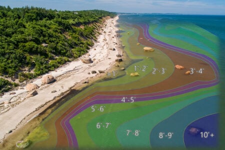
A pile of spots off the eastern end of the South Shore to find fluke this summer
Several days last summer, upon returning to the dock to clean up, we were approached by other anglers that queried as to how we did fluke fishing and subsequently the whereabouts of where we found all of them. While the answers were begging for some comical replies, the fact is a lot of fishermen that don’t get to fish often or that are relatively new at it struggle to find consistency in catching fluke. Many boats simply follow the charter or headboats around and hope to get into some fish along the way. Others put in some serious fishing time, making notes in their logs, and learning the hard way what works and what doesn’t.
Breaking open my secret black book I’ll share several locations along the south shore from Point Judith to Charlestown that will get you started on good ground for summer flounder; the rest is up to you. None of these are really secret, but rather regular locations that we find ourselves fishing on year after year. While these spots have proven to be productive in the past, future results in these spots will be at the mercy of Mother Nature’s variables (tide, weather, amount of bait present, etc.). It is important to observe how each of these variables impacts your catch results in each spot to further hone your skills.
South of the Point Judith Center Breakwater, and out towards the Hooter Buoy, there’s a spot in deeper water that I came across late one summer that held some real jumbo fish. It’s on the edge of some rocky ground and looks like a little pocket on the chart. Set up a drift just to the east of 41-19-08.9/71-29-50.1 and drift with a flooding current, rods rigged with fluke sliders and large smelt baits. Moving from the rocky bottom to the sandy transition often finds hungry fluke waiting in ambush. If you drift too far west you will likely get into loads of skate. Occasionally we run into dogfish here and have to opt for other locations as they become just too pesky, so have a back-up plan.
Just outside the West Gap, and along the western section of the Center Wall, is a spot where many fluke of varying sizes are caught each year. The tidal flushing of Point Judith Pond brings out a supply of bait, and predators frequent this area to feed on it. Check out the areas between 41-21-13.2/71-30-47.9 and 41-21-35.1/71-31-12.5. The one thing to watch out for with this spot is that you’re bound to get a lot of boat wakes as traffic enters and exits the harbor. Fishing this spot in the fog can give you a headache trying to keep track of all the radar targets and horns so I tend to only fish it when it’s clear. That being said, there are times that it’s very productive.

Southwest of the West Gap of the Harbor of Refuge has some nice ground at 41-20-50.7/71-31-53.2. Water depths are around 45 feet here, and I often find both black sea bass and fluke biting in this area. While you may not necessarily see huge numbers from this spot, it is a pretty consistent producer. Pay attention to any buoys in the area as I have often seen a gillnet deployed in this area; it’ll eat up your rigs.

Off Matunuck in 42 feet of water is another spot where we’ve had good success with both fluke and black sea bass. Make short drifts around 41-21-30.5/71-32-37.2 and slowly work a bucktail jig tipped with squid on the bottom. Again, you’ll find a mix of fluke and sea bass here.
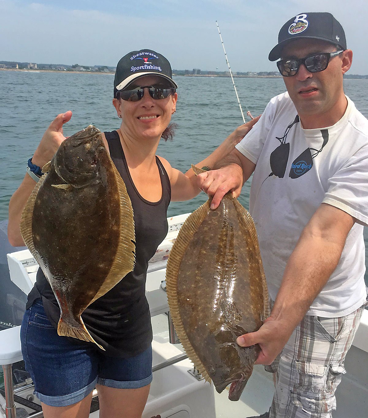
In tighter to the beaches at Matunuck, look to the sandy ground to the west of the mussel bars at Carpenters beach. Last year saw some good action here fishing in 25 to 33 feet of water. The current generally runs east to west and vice versa with the tides. Black sea bass, scup and sea robins all go after your baits here as well. Once you catch a couple of flatties reset your drift so that you go back over those same spots. I’ve caught some of my largest fluke in this area.
Around 41-20-47.2/71-33-03.4 is an area I’ve nicknamed with some of my friends as the “DD Spot.” It has something to do with someone not keeping their rather large fluke on the deck and having it flop out of their hands and back to freedom. We’ve caught both black sea bass and fluke here on numerous occasions. Short drifts over the numbers that you get bites are the ticket to putting numbers of fish in the boat here.
To both sides of Nebraska Shoals, as well as to the south of it, can also be very good fishing. While many anglers run up onto the shoals themselves and catch scup and sea bass, we’ve found success with the fluke while fishing the edges and deeper areas around it. Try looking around 41-21-04.8/71-33-41.8 and spots to the southeast, to the east of the shoals and 41-20-33.4/71-34-34.1 to the south of the shoals. Take into account the wind and tidal currents and setup your drifts to take you over the transitional areas from deep water to the shoals or in reverse. To the west of Nebraska Shoals (Green Hill), look around the location of 41-21-17.9/71-35-52.8 and spots to the Southwest. Earlier in the season there will most likely be a fleet of draggers working on squid from here to the west—a sure sign that bait is present in the area. As long as you’re paying attention to the draggers and are willing to move from time to time it’s easy to keep out of their way if conditions are clear.
Fairly shallow, just to the east of the Charlestown Breachway area at 41-21-19.3/71-37-36.5, there’s some bottom that transitions from rock to sand in 29 feet of water. Several springs back we had some nice limit catches of fluke here each morning with fish that were gorging heavily on squid. As a bonus to it, there were large striped bass and bluefish mixed-in to the point that you weren’t sure which one you’d catch on each successive drop.
Hopefully these coordinates and points will help you up your success level with the flat ones. The best thing you can do is to keep notes relative to your success so that you can repeat it again. Make note of the wind, tide, sea temps, cloud cover and bait concentrations. You’ll soon be creating your own secret black book and detecting patterns. Be prepared to be the one answering all those questions back at the dock.
| RHODE ISLAND SOUTH SHORE FLUKE SPOTS | ||
| GPS | LORAN | |
| South of Center wall | 41-19-08.9 / 71-29-50.1 | 14484.0 / 43944. |
| Center Wall | 41-21-13.2 / 71-30-47.9
To 41-21-35.1 / 71-31-12.5 |
|
| Small Spot | 41-20-50.7 / 71-31-53.2 | 14492.1 / 43959.2 |
| Carpenters | 41-22-8.2 / 71-32-53.1 | |
| Matunuck | 41-21-30.5 / 71-32-37.2 | |
| “DD” Spot | 41-20-47.2 / 71-33-03.4 | |
| Nebraska Shoals ( East) | 41-21-04.8 / 71-33-41.8 | |
| Nebraska Shoals (South) | 41-20-33.4 / 71-34-34.1 | |
| Green Hill | 41-21-17.9 / 71-35-52.8 | 14514.5 / 43968.8 to SW |
| Charlestown | 41-21-19.3 / 71-37-36.5 | 14525.3 / 43971.7 to NE |
| Charlestown | 41-21-00.9 / 71-36-43.7 | 14520.8 / 43968.1 |