
Hot Spot: The Tires At Barnegat
Local fishermen call the Barnegat Light reef “The Tires.” That’s because bound, and ballasted car and truck tires were first…
Local fishermen call the Barnegat Light reef “The Tires.” That’s because bound, and ballasted car and truck tires were first…
When Dave Anderson asked me if I wanted to write a hotspot story he mentioned that most of them include…
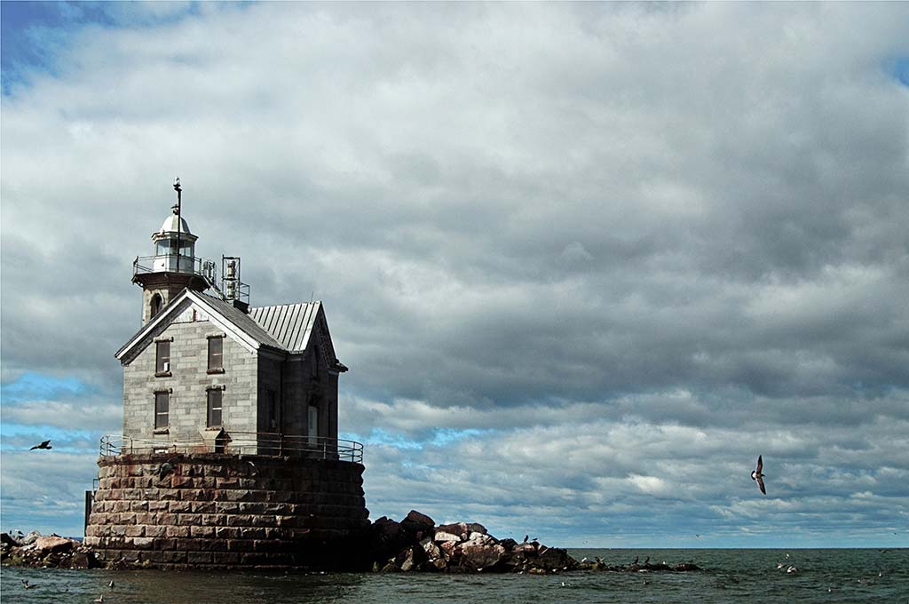
Location: (41 03 06N / 73 06 01W) Boatmen sailing from Mount Sinai, Port Jefferson, and as far west as…
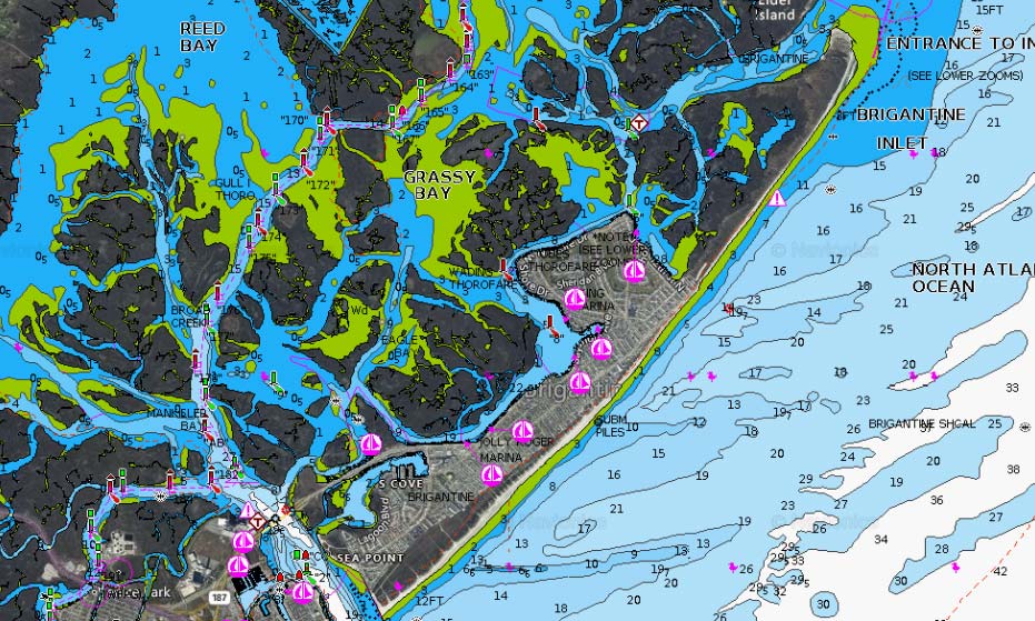
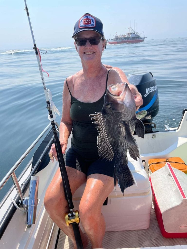
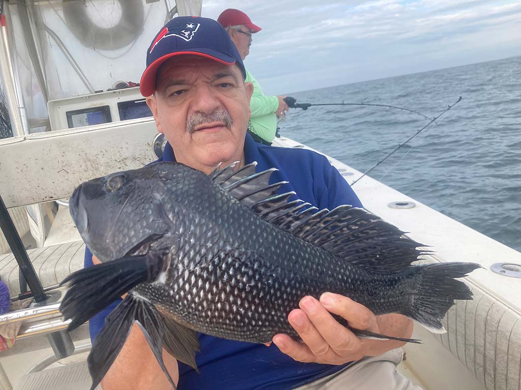
Nobody knows Brigantine Beach better than Andy Grossman of Riptide Bait and Tackle in Brigantine as his shop is literally…
A surf spot with a storied history
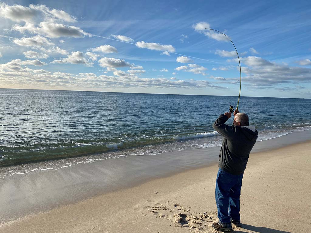
From Field 5 through Field 2, and out to the tip of Democrat Point, the stretch of beach that falls…
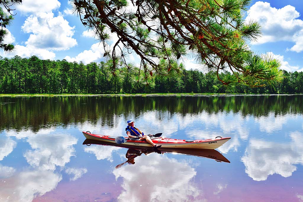
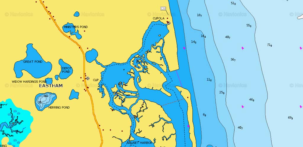
Halfway between Chatsworth and New Gretna in the Jersey pines along County Road #679 is Harrisville Pond. This pond is…
A diverse spot in central Long Island Sound that has it all
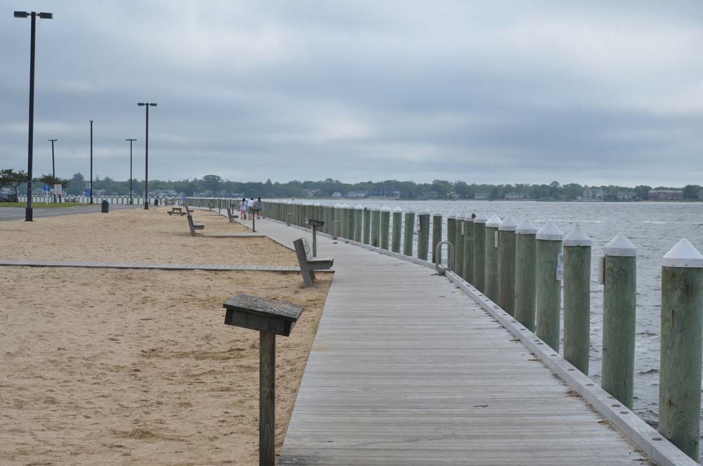
The Bay Shore Marina Dock is a great place to begin fishing, especially with the kids. The dock is large,…
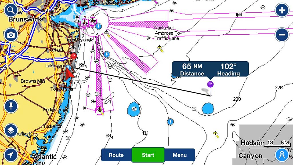
This spot always goes down smooth. The Bacardi wreck lies approximately 66 miles outside of Manasquan Inlet in generally 180…
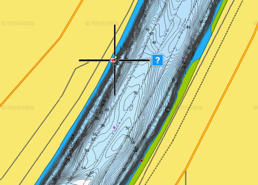
My how the Canal has changed in the 23 years I’ve been fishing it! When I first started fishing there,…
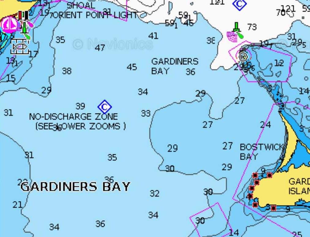
Gardiners Bay is a small arm of the Atlantic Ocean, approximately 10 miles long and 8 miles wide between the…
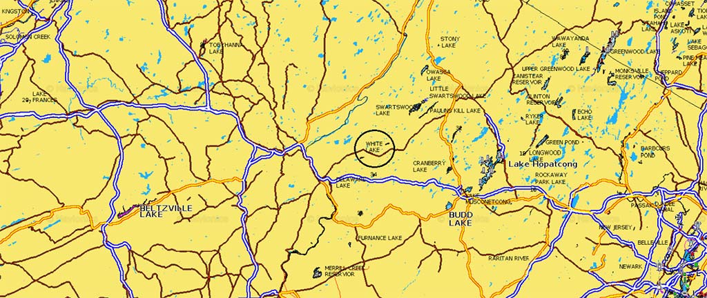
If you take advice from any in the know about White Lake in Warren County, they might tell you to…
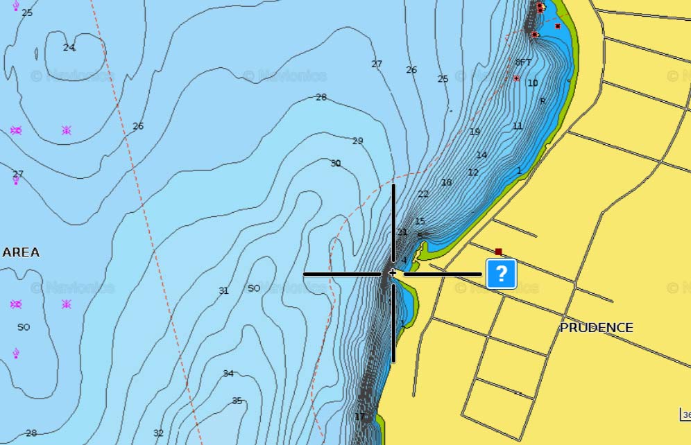
A known ambush point for large bass in Narragansett Bay!
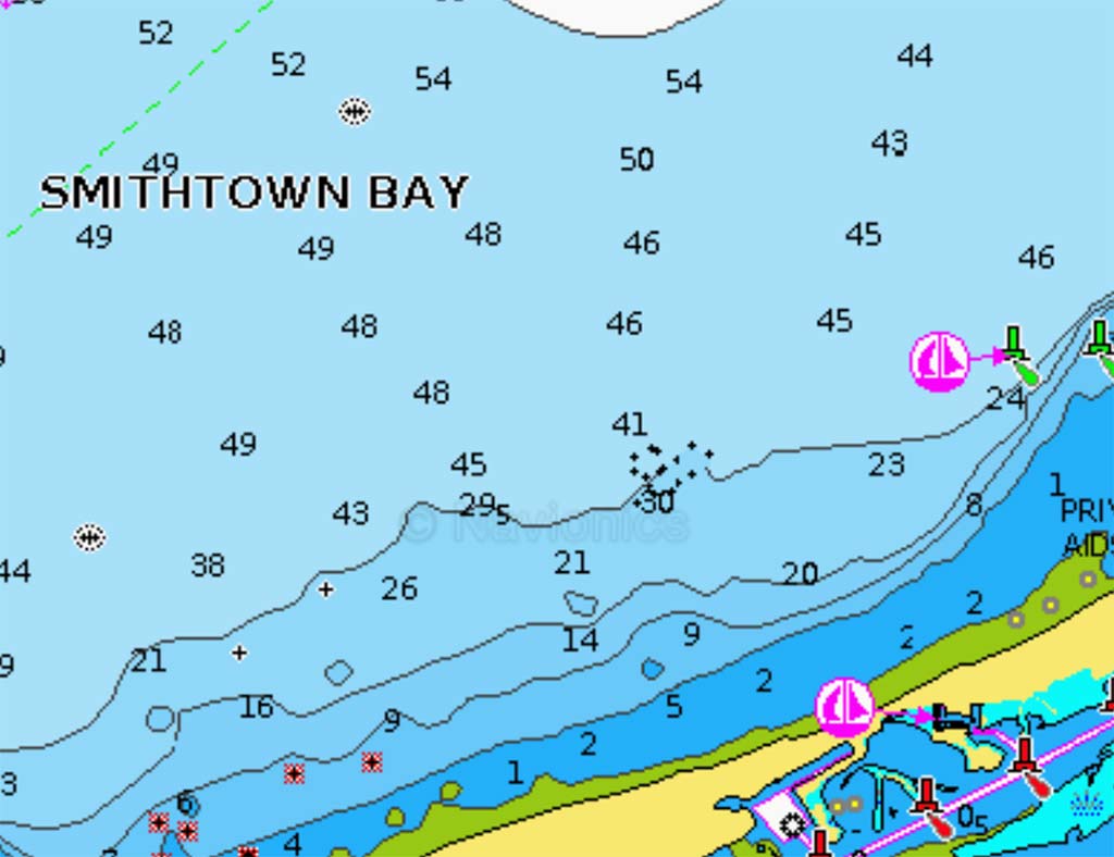
N40.55.975/W73.11.170 Tucked between the former LIPA Stacks and Cranes Neck in Long Island Sound is Smithtown Bay where each spring…
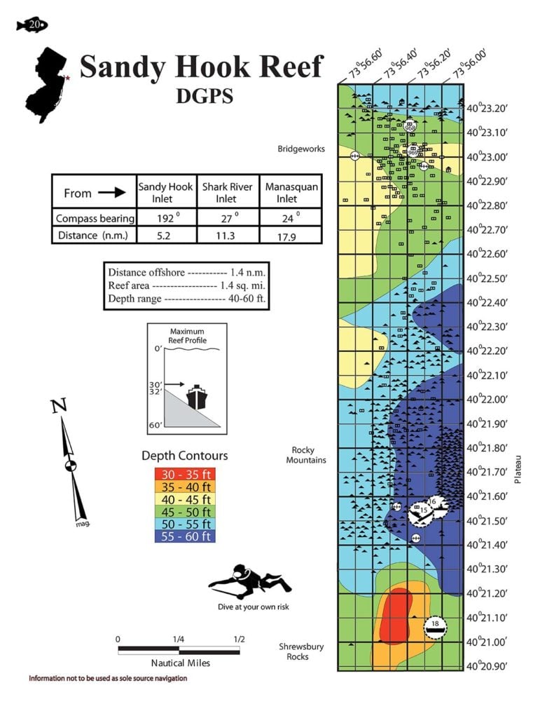
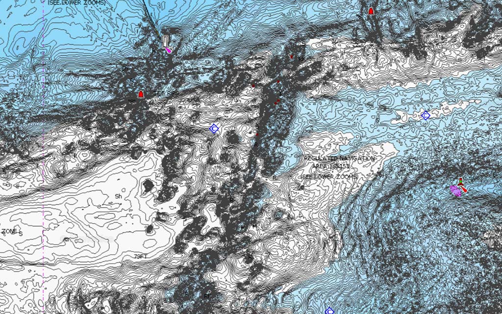
Known as New Jersey’s oldest reef site, the Sandy Hook Reef’s first deposits were taken in 1937, so it’s had…