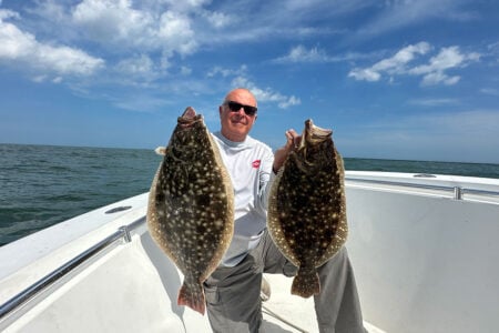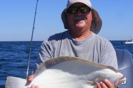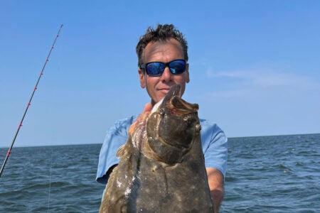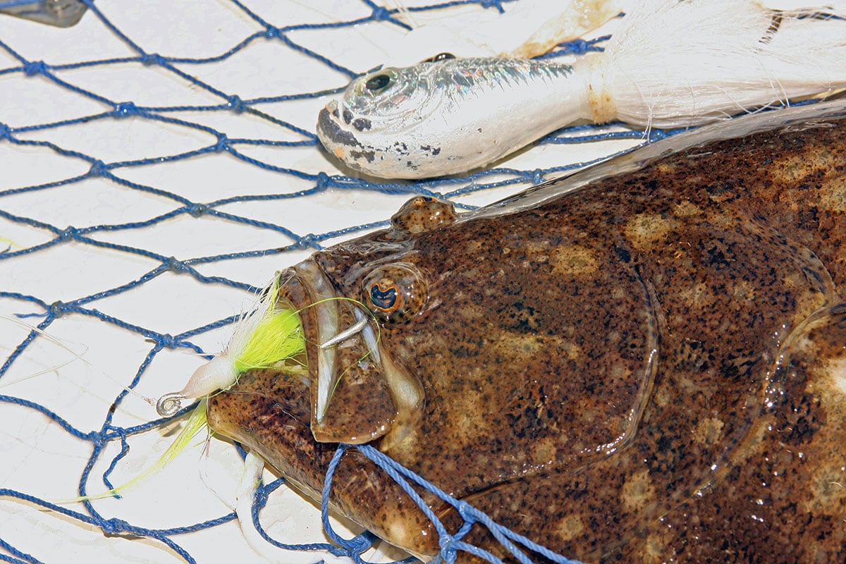
Travelling regionally this summer? If so, try one of these fluke destination hot spots.
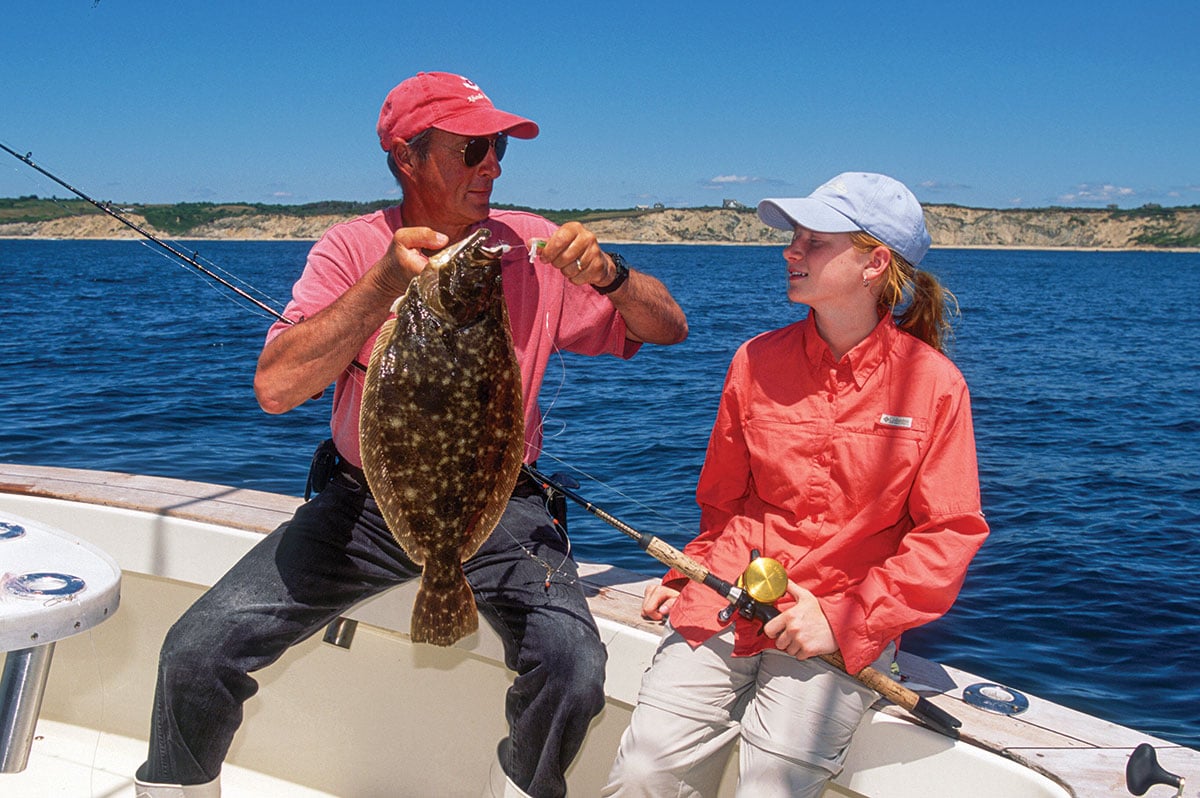
There’s something appealing about just drifting along on a giant conveyor belt of seawater on a hot summer day waiting for a big flattie to strike. The ultimate reward, of course, is the great eating fresh off the skillet that night.
Keeper fluke have been harder to come by in recent years. Some reports put the short-to-keeper ratio at 12:1 in many areas. So, the question becomes, where do you start looking for a shot at a limit of doormats without having to wade through too many shorts?
One strategy, of course, is to fish in historically productive areas. Whether in your own boat or by jumping on a bottom fishing charter, here’s a roundup of fluke destination hot spots to try in our region.
Westport, Mass
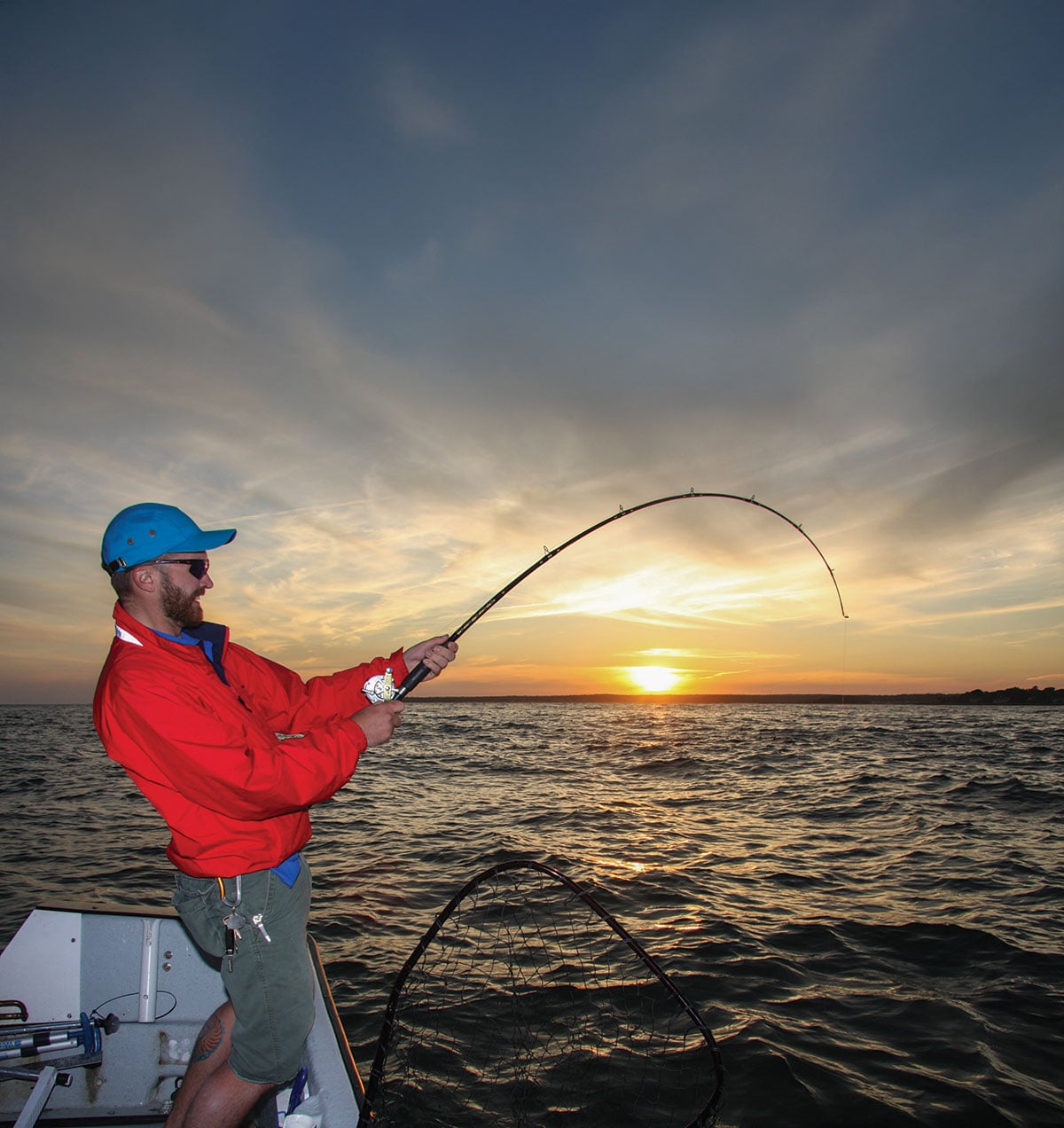
“On the east branch of the Westport River,” said Capt. Ned Kittredge (ret.), a pro with over 45 years’ experience, “from Gunning Island southward, the tidal flow and deeper channels funnel baitfish through the river. Summer flounder are in these deep cuts where they wait for prey.
“The largest concentration of baitfish occurs south of the intersection of the east and west branches. A strong ebb tide, combined with river current, creates ideal conditions for drifting. Fishing is often good on the flood tide, but more often it’s better on the ebb as the water flushes baitfish into Buzzards Bay.”
Seaworthy boats can venture to deeper water outside the river mouth. However, when a dropping tide opposes a brisk southwest wind use extreme caution heading in or out of the river due to large, cresting waves. But on calm days, try drifting parallel to Horseneck Beach along the deeper 20- to 30-foot slope. Set up a drift over the uneven sandy bottom and free-spool down a squid strip on a jig or a ThomCat-style fluke rig. But like everywhere else, be prepared to weed through some shorts before you land a keeper.
A public boat ramp is located at the end of Route 88 in Westport. For more information and supplies visit westportbait.com.
Block Island, RI
Block Island boasts some of the top fluke fishing anywhere in the East. It sits about 12 miles south of Pt. Judith, Rhode Island. “Block” is a 9- by 3-1/2-mile teardrop-shaped outpost surrounded by miles of tide-swept, sandy bottom broken with patches of stones, gravel, and vegetation—a fluke haven. The island sits in the middle of the migratory path of fluke making their way to and from other grounds.
Start your hunt on the sandy bottom with depths of 25 to 40 feet running from Sandy Point at the north end all along the west side and around to the southern end. Excellent areas include from Grace Point to the entrance of New Harbor. Southwest Point and the south side of the island are also productive. If you’re targeting doormats, avoid the fleet and search deeper waters for changes in depth. At times you’ll get into the sand sharks around Block, and that then requires a move to avoid them.
The run to Block Island necessitates a seaworthy vessel but if you don’t have one, you can book a trip with Block Island Fishworks at sandypointco.com, 401-466-5392. On-island bait & tackle: Twin Maples 401-466-5547. Mainland bait & tackle and charters: Captain’s Tackle at francesfleet.com.
Fishers Island, NY
Isabella Beach is a half-mile long, banana-shaped stretch of sand on the south side of Fishers Island. It’s only a short run from the eastern entrance of the Long Island Sound and many area launches.
“When we reported good fluke fishing ‘off Isabella,’” said Capt. Q Kresser (ret.), previous shop manager at River’s End Tackle in Old Saybrook, CT, “what we meant is anywhere along the 2-1/2-mile stretch of sandy bottom from Wilderness Point to the west, and South Reef to the east, not just off Isabella Beach itself. This whole area holds keeper fluke through the season.”
Most success comes from 40-foot depths, although keeper fluke are taken here in up to 100 feet of water later in the season. The tendency is for the fish to move deeper as the waters warm. One time-tested tactic is to simply follow the drift of the fleet. Or just make progressively deeper drifts on your own, starting in 40 feet and working your way out. Record your drifts on your GPS, which allows you to repeat productive tracks once you locate fish.
You can book a fluke trip out of nearby Niantic on the Tartan II at tartaniifishing.com. For information and supplies, Hillyer’s Tackle, 860-443-7615, facebook.com/Tunachaser75, located at the Niantic River Launch, 374 Mago Point Way in Waterford.
Black Point & Two Tree Channel, CT
Black Point Reef is a long structure located off the southwest tip of the bay in Niantic, which runs almost a mile south into the Sound. The water depth drops sharply from 60 to over 100 feet where the reef ends abruptly off the southernmost tip of the reef. A perennial hotspot for fluke is this 100-foot-deep swath beyond the structure, which runs east/west for at least a half mile.
If the bite is off along Black Point, try Two Tree Channel off Jordon Cove in Waterford, which is only a couple miles to the northeast. Two Tree runs deep very close to the shoreline, and pros drift the slopes of the channel.
For information and supplies: Hillyer’s Tackle, 860-443-7615, facebook.com/Tunachaser75. To book a bottomfishing trip, tartaniifishing.com. Launch at the state Niantic River ramp across from Hillyer’s Tackle Shop.
Long Sand Shoal, CT
Stretching 6 miles from its east-end bell buoy to its west-end gong, Long Sand Shoal spans the towns of Old Saybrook and Westbrook, Connecticut, and its midpoint rests 1-1/2 miles south of Cornfield Point. The shoal is composed of a narrow band of sandy bottom deposits from the Connecticut River outflow.
The shoal’s eastern half averages about 14 feet deep, while the central portion and western half average only 4 to 9 feet deep. Waters to the north side of the shoal average about 40 feet deep; however, waters to the south side plummet to over 100 feet deep.
You can catch fluke along the entire shoal, but the action is usually best on the western end when drifting along the slope with the diagonal current. Launch at the Baldwin Bridge state ramp under I-95 in Old Saybrook.
For the latest reports and supplies, try Ted’s Bait & Tackle, 35 Ferry Rd, Old Saybrook, 860-388-4882. To book a bottomfishing trip, visit captainpete.com.
Port Jefferson, New York
Three large land points off Point Jefferson Harbor add structure to Long Island’s otherwise nondescript northern shoreline. The channels, points and slopes provide holding spots for fluke to stage and ambush food as it’s swept past. Port Jeff offers a very sudden and steep drop-off that runs from its shore toward the central Sound.
Just a short distance from Mt. Misery Point the water depth plummets from 10 to 90 feet. And off Old Field Point, the depth falls from 30 feet to well over 100 feet deep. This happens within about a half-mile, and it’s a go-to fluke spot.
For charter fishing: ospreyfishing.com. For information and supplies, Port Tackle Company, port-tackle.com, 631-331-3199.
Ambrose Channel and Shrewsbury Rocks, NJ
Located in the shipping lanes of Raritan Bay, just east of Romer Shoal, the Ambrose Channel paves a deep gully running from 21 feet on its edges sloping to 45 feet and finally down to 70 feet at its centerline and perhaps 100 feet farther out. An indicator that you’re in the best area is the No. 8 buoy on the channel’s east side.
This deep channel draws some of the biggest fluke of the summer to its ledges and troughs. Stay aware of supertankers traversing the channel and be ready to give way. There aren’t a lot of average-size fish here, but the ones you catch are likely to be doormats. Bring heavier tackle for deep water, and up to 6-ounce jigs may be needed.
To the north, in the 70- to 100-foot depths, the Shrewsbury Rocks are a go-to spot later in the season as the fish move offshore. The fish-attracting rocks stretch from close to the beach to several miles off Monmouth County and can be from a few feet to 20 feet in relief from Shark River Inlet to Sandy Hook. Look for gaps in the structures having sand and clay bottoms and repeat successful drifts.
For Ambrose Channel, launch at the Raritan Bay Marina, 39 Charles Ave., Keansburg, NJ. For information and supplies: Tackle Box, tackleboxnewjersey.com, 732-264-7711; Up Front Bait and Tackle, upfrontbaitandtackle.com, 732-497-0919; or Julian’s Bait and Tackle, 732-291-0050. For boat launch and head boat information at Atlantic Highlands Municipal Harbor go to ahnj.com (select Harbor) or call Lou Fligor at 732-291-1670.
Choptank River, MD
If you’re farther south, there’s plenty of great fishing around the Chesapeake Bay area. One possibility for fluke is the mouth of the Choptank River, located on the Chesapeake Bay’s Eastern Shore just south of the Bay Bridges at Sandy Point, which is accessible from Virginia or Maryland. One good spot is a few yards south of the green can buoy 9, located about a quarter mile south of Blackwalnut Point on the river’s northern channel. The bottom drops rapidly from about 8 feet deep to 26 feet deep and then eventually to 40 feet deep.
Through the summer, fluke commonly gather along 20- to 50-foot shoals, but the Choptank’s ebb current is very strong in those areas so come prepared with a range of jigs up to 8 ounces.
Trophy fluke sometimes hold on the drop-off situated beyond the north end of The Diamonds, located at flashing green buoy 7. Depths here change from 11 to 36 feet, making it an ideal drifting location. South-southwest of the nearby Airplane Wreck is red buoy 10, where abrupt depth changes make this a fishy spot for fluke and other species, including bluefish and striped bass, which can add a bonus to your day.
For river details see Captain Segull’s Sportfishing chart CHP393. To book a general-species trip, contact captainhoggscharters.com.