The reason sharpies and professionals catch well is because they spend so much time on the water learning the nuances of fish migrations, habitats, currents, baitfish patterns, water temperature and how structure interacts with those elements. Ask any top angler or charter captain about his or her favorite hotspots, and they’ll always mention some type of shoreline or bottom structure.
For the nearshore angler, ideal coastal geography provides the most important elements in fishing: predator feeding and ambush stations, sanctuary, diverse current flow and abundant prey. Learning to study the nearby shoreline above the water—as well as the shallows adjacent to land—will tell you almost everything about what lurks beneath your hull and how to fish it.
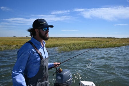
“When I approach any shoreline with my boat,” said Captain Chris Elser, who is based out of Norwalk, CT and has 40 years of experience fishing southern New England Waters (www.ct-fishing.com, CaptElser@Charter.net) “whether it’s an island, rocky peninsula, beach or marsh, I always consider how the shoreline structure impacts the water under my boat.”
Steep and Rocky Shorelines
And according to Captain Chris Willi, a charter pro on Block Island with over 30 years of experience and owner of Block Island Fishworks (www.bifishworks.com, bifishworks@gmail.com) reading water and nearshore bottom structure depends on several variables, including water clarity, depth, sea conditions and tide/current. Naturally, good visibility makes seeing some of these variables much easier, which are greatly enhanced with polarized sunglasses. Boulders, reefs, cobble, sand and vegetation are all visible, and therefore readable, once you learn how to look.
“I think more and more anglers are dependent on their electronics for navigating and finding fish,” stated Willi. “What separates ‘good from best’ anglers are those who can fish without relying on technology. Reading the water without aid from electronics is a valuable skill and worth learning—it makes better fishermen. I often turn off my sounder if the bite is tough. They produce noise underwater, and I think it can affect fish in depths of 20 feet or less.”

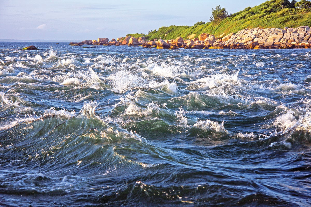
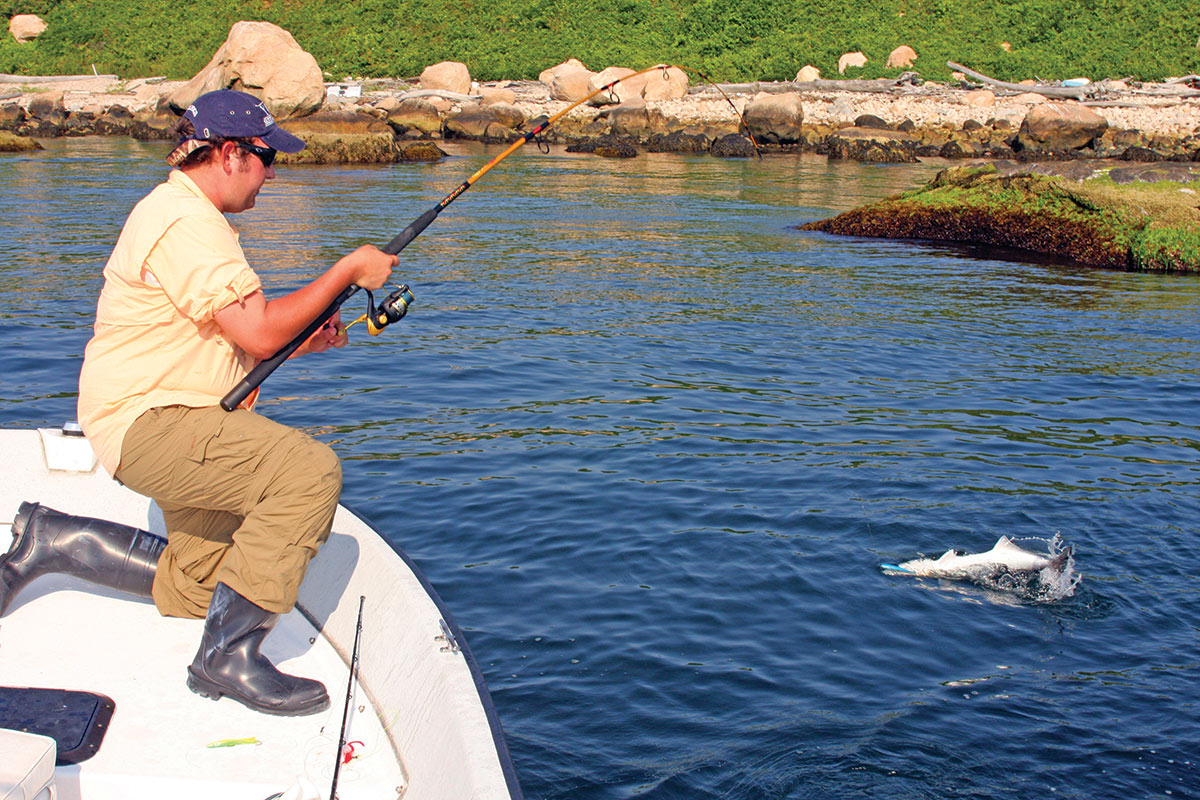
Unlike points south, much of New England’s shoreline is rocky—remnants of the last glacier—which sometimes causes breaking waves and strong currents. When you fish near rocks or ledges, it’s critical to get your lure or bait within a few feet of the structure where predators hunt. Fishing between boulders, in their crevices, and along the bottom are good targets for fish and prey sheltering from tidal flow.
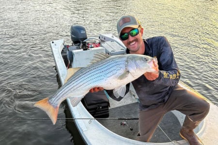
“Steep slopes entering the water typically translate into a deep drop-off with a subsurface boulder field below,” said Elser, “this is an ideal situation to target striped bass and bluefish a short distance from shore three-waying live baits. Adjust the weight according to depth, but for eels I use a 1-ounce egg sinker above the leader, and bunker require at least a 4-ounce weight to keep them near the bottom.
“These locations are notorious for holding bait. I like fishing steep, sloping shorelines when the tide and wind are pushing into the structure-side I’m fishing, concentrating bait on the upward slope. The deep sloping areas produce better on the flood as the currents are amplified by wind and current, displacing baitfish to make for easy prey for predators.”
Sand and Gradual Slopes
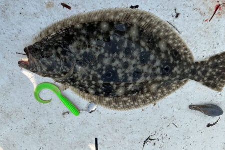
The water beneath a gradually-sloping rocky peninsula will often hold small baitfish, crabs and shrimp, according to Elser. He feels this is a good scenario to cast surface plugs for schoolie stripers and bluefish, as well as to hook fluke gliding through the potpourri of bait. “This is the fly- and light-tackle angler’s turf,” he said, “and I find the ebb to be most productive in western Long Island Sound.
“Beaches might not look like they offer much structure but there are a lot subsurface currents and potholes that hold bait and fish when the right bait is available. For our region, the ‘right bait’ is sand eels, peanut bunker or bay anchovies. My favorite time to cast outside of beaches is June, as it’s typically the high point of sand eel activity, and I often find bluefish, stripers and fluke feeding on 2- to 4-inch baitfish.”
Elser’s absolute favorite target zone when plying a shoreline are those precise areas where rocks and/or grasses transition rapidly to a flat gravel or sandy beach. The rocky structure could be manmade or a natural formation, but he feels that doesn’t matter. The water beneath this area usually has a gradual slope but is scattered with boulders, eel grass, sand and mud, which has everything to attract baitfish. The conflicting currents gathering in these areas make for the perfect mix of bait and predators. “I have targeted areas like this throughout Long Island Sound with a lot of success,” he said, “and almost always point my boat here first.”
Ocean Conditions
Outside of comparatively-sheltered western Long Island Sound, anglers are confronted by ocean waves and swells, which require more diligence when working areas like open Rhode Island beaches or the Block Island shoreline.
“In a big ocean swell,” said Willi, “everything nearshore-but-under-water will leave a ‘mark’ on the surface. When you see a localized wave break off the beach it means there’s structure protruding from the bottom causing the wave to form and break. When you see a long consistent wave breaking at the same point or the stereotypical ‘surfing’ wave this indicates smooth bottom that’s decreasing in depth producing the wave. Take that scenario but move it 50 yards from shore—this now indicates a shallower sandbar that the waves break over, and a deeper trough is between the bar and the beach—always a good spot to target fish from either a boat or shore.”
The advantage of peering into shallow water is you can see the structure and transition areas, like sandy bottom to eelgrass bed, and can therefore fish more effectively, according to Willi. But the tricky part, even in clear water, is determining the depth. You can cheat by dropping a sinker or tin lure to the bottom and reeling it back up to get a depth estimate. A big swell or fast current makes it easier to determine depths and structure because it “shows” better.
“Shallow spots over structure leave an eddy or swirls when the wave/swell/current moves over the shallowest part of the area,” said Willi. “With experience, you’ll find that the type of mark left can further define the depth and type of structure. For example, if a swell moves over a large boulder and leaves a bit of whitewash or curls into a mini wave that means it’s shallow, but if it’s just a slight disturbance or swirl the structure is deeper. Sea conditions amplify the ability to see shoreline geography.”
Calm days with light or no current are the most difficult times to read water. It’s always good to familiarize yourself with tides beforehand. Strong currents of, say, 3 to 4 knots can show structure as deep as 40 feet or more, and develop rips right to the shoreline. If you have flat water, however, you need to pay attention to the littlest details on the surface because they can indicate bottom geography. Even the slightest ripples indicate something is under the surface.
What’s floating can be helpful as well, according to Willi. “Vegetation is a good indicator of bottom structure,” he said. “Eelgrass in the water column or on the surface means a weed bed, usually up-tide. Red seaweed usually appears after rough weather and indicates boulders below. Obviously when you hook or snag kelp or a mussel you can determine what’s under the boat, too.”
For shallow-water structure, Willi’s favorite method is topwater fishing, usually over boulder fields and reefs. “We have success due to water clarity,” he said, “in depths up to 20 feet. In the rips and troughs, I like to use something subsurface, usually a soft plastic on a jighead up to an ounce. You can bounce these over a sandbar into the trough and back. They’re also good to sweep over structure in strong currents and bounce back to you. Metals are effective in fast currents and tidelines. Forage fish concentrate in tidelines and current seams, making these good areas to focus fishing.”
Tides and Light
Tides, of course, play a huge role in fishing success, especially in shallow waters, and the high incoming through first two hours of the dropping tide are the most productive in these areas. “When targeting big bass and blues in low light conditions in these areas,” said Elser, “I prefer to live-line bunker hooked on top behind the dorsal fin. Pitch the bunker away from the boat and quietly drift parallel to the structure or anchor just offshore if the wind is pushing the boat into shore too fast.”
For those who prefer to fish artificials, Elser’s go-to topwater lure is a 9-inch, unweighted, white Slug-Go cast into shore and retrieved in a walk-the-dog pattern. He finds the subtle Slug-Go retrieve works better than noisy poppers in less than 10 feet of water because they can spook fish.
“Areas like the ones mentioned above are numerous throughout our region,” concluded Elser, “and it’s worth your effort to cruise the shoreline just to scout new target areas, and then return at the optimal tide and time of day.”